SMITH SOUTH FORK MITIGATION BANK
Smith South Fork Mitigation Bank

Missouri Sun Smith Major Watershed
Missouri Sun Smith Major Watershed
Meagher County
Wetland and Stream Credits
Wetland and Stream Credits
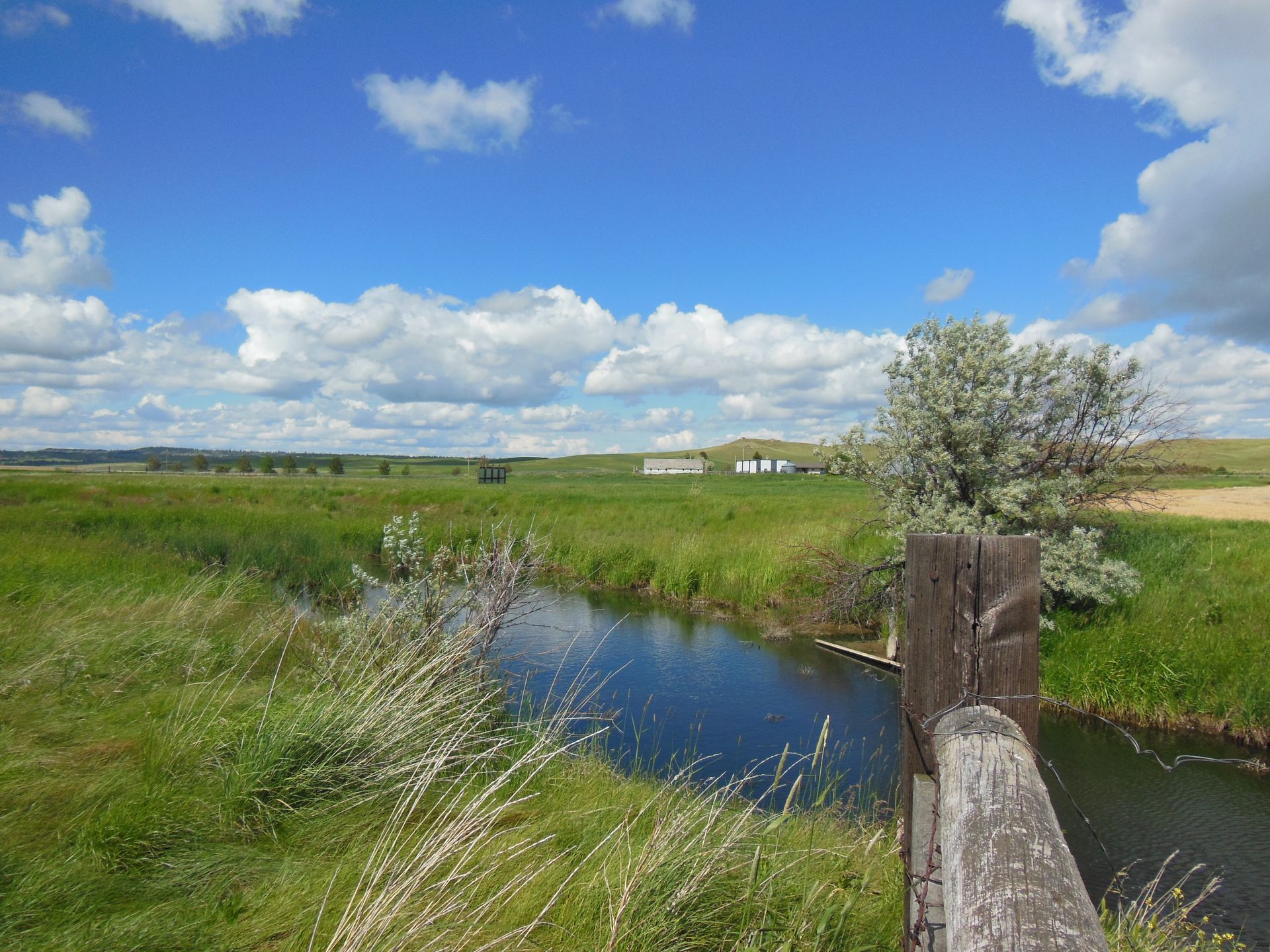
Smith South Fork Mitigation Bank is a 160-acre site located along the South Fork Smith River near White Sulphur Springs in the Smith Basin of the Missouri Sun Smith Major Watershed in Meagher County, Montana. Smith South Fork Mitigation Bank is currently seeking approval by the U.S. Army Corps of Engineers Omaha District for a potential of 61.58 Palustrine Emergent/Palustrine Scrub/Shrub wetland credits and 125,450 MT stream credits. The mitigation plan includes the restoration of streams through the use of beaver dam analogs and installation of livestock exclusion fencing and wetland restoration through supplemental planting.
Smith South Fork MB is pending approval to offset wetland and stream impacts within the Upper Missouri (HUC 10030101), Upper Missouri-Dearborn (HUC 10030102), Smith (HUC 10030103), Sun (HUC10030104), and Belt (HUC 10030105) watersheds, which includes portions of Broadwater, Cascade, Gallatin, Jefferson, Lewis and Clark, and Meagher Counties.
Determine if your project is located in the bank's service area. DOWNLOAD MAP PDF