MIDDLE MISSOURI MITIGATION BANK
Middle Missouri Mitigation Bank

Middle Missouri Major Watershed
Middle Missouri Major Watershed
Fergus County
Wetland and Stream Credits
Wetland and Stream Credits
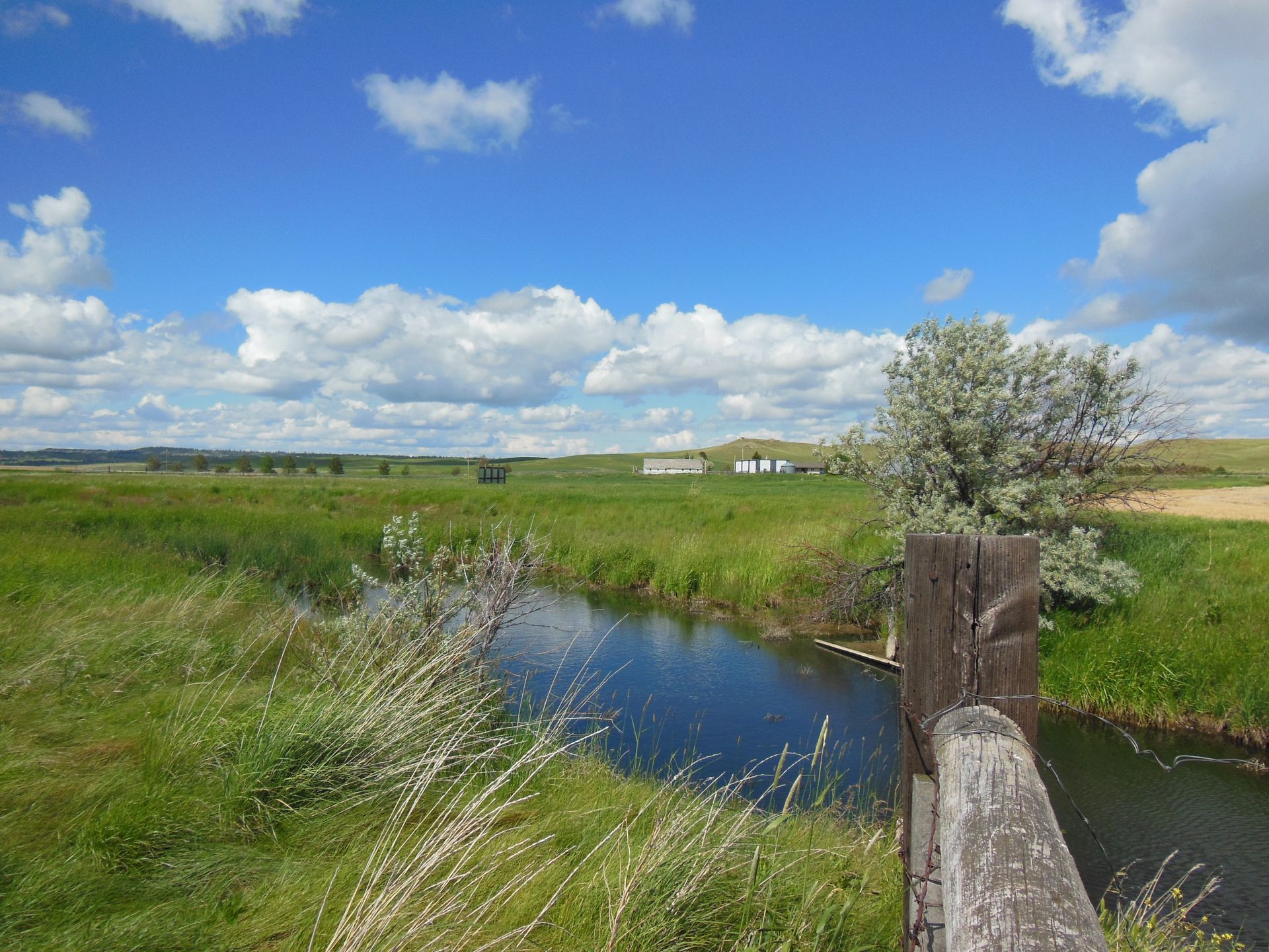
Middle Missouri Mitigation Bank is a 185-acre site within the riparian corridor, which flows through the main branch of Salt Creek and its tributaries located in the Judith Basin (HUC 10040103) of the Middle Missouri Major Watershed in Fergus County, Montana. Middle Missouri Mitigation Bank was approved by the U.S. Army Corps of Engineers Omaha District in 2012 for a potential of 23.89 Palustrine Emergent/Palustrine Scrub/Shrub wetland credits and 104,747.2 MT stream credits (includes riparian credits). The mitigation plan included the proactive restoration of Salt Creek as well as adjacent riparian and wetland habitats.
Middle Missouri MB is approved to offset wetland and stream impacts within the Bullwhacker-Dog (HUC 10040101), Arrow (HUC 10040102), Judith (HUC 10040103), Fort Peck Reservoir (HUC10040104), Big Dry (HUC 10040105), Boulder (HUC 10040106) watersheds, which includes portions of Blaine, Choteau, Fergus, Garfield, Judith Basin, McCone, Phillips, and Valley Counties.
Determine if your project is located in the bank's service area. DOWNLOAD MAP PDF