SCHWARZKOPH-WAAGE MITIGATION BANK
Schwarzkoph-Waage Mitigation Bank

Middle Yellowstone Major Watershed
Middle Yellowstone Major Watershed
Treasure County
Wetland and Stream Credits
Wetland and Stream Credits
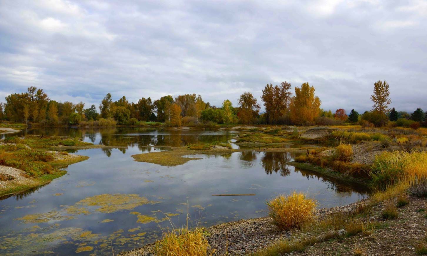
The Schwarzkoph-Waage Mitigation Bank is a 176-acre site located along the Yellowstone and Bighorn River bottoms in Treasure County, Montana. Schwarzkoph-Waage Mitigation Bank was approved by the U.S. Army Corps of Engineers Omaha District in June 2014 for a potential of 43.2 wetland credits and 212,506 MT stream credits (includes riparian credits). The mitigation plan includes riparian buffer restoration and management, wetland restoration along the Yellowstone River, and revegetation of the river’s riparian buffer with native species.
Schwarzkoph-Waage MB is approved to offset wetland and stream impacts within the Middle Yellowstone Major Basin including the Yellowstone River channel migration zone. The service area includes Big Porcupine (HUC 10100002), Lower Yellowstone-Sunday (HUC 10100001), Rosebud (HUC 10100003), Upper Yellowstone-Pompeys Pillar (HUC 10070007), Pryor (HUC 10070008), Big Horn Lake (HUC 10080010), Shoshone (HUC 10080014), Lower Bighorn (HUC 10080015), Little Big Horn (HUC 100800016), Upper Tongue (HUC 10090101), and Lower Tongue (HUC 10090102) watersheds, which includes portions of Big Horn, Custer, Powder River, Rosebud, Treasure, and Yellowstone Counties.
Determine if your project is located in the bank's service area. DOWNLOAD MAP PDF