LOCKE BOTTOM MITIGATION BANK
Locke Bottom Wetland Mitigation Bank

Cahokia-Joachim; Peruque-Piasa; and The Sny Watersheds
Cahokia-Joachim; Peruque-Piasa; and The Sny Watersheds
Monroe County
Wetland Credits
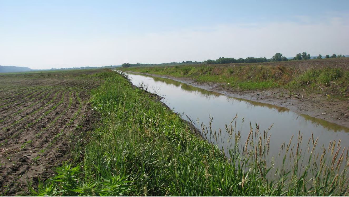
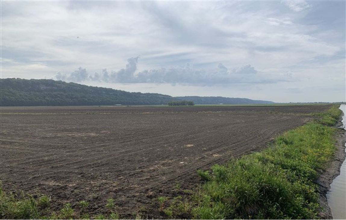
Locke Bottom Wetland Mitigation Bank is a 92-acre site with direct connectivity Fults Creek Ditch within the Cahokia-Joachim (American Bottoms) Watershed in Monroe County, Illinois. The restoration of forested and emergent wetlands onsite will create important benefits for the watershed as it will decrease the amount of nutrients traveling to downstream waters by reducing the sediment and occasional floodwaters will be filtered in the established wetlands, which will store flood waters and provide substantial wildlife benefits. The emergent and scrub-shrub wetland components will consist of shallow basins in selected low elevation areas that will support a variety of herbaceous vegetation throughout the year and may support migratory and endemic wetland species along the Mississippi River. Locke Bottom Wetland Mitigation Bank was approved by the U.S. Army Corps of Engineers St. Louis District in January 2022 for a potential of 65.24 wetland credits. The mitigation plan includes the creation and restoration of forested, scrub-shrub and emergent wetland habitats.
Locke Bottom Mitigation Bank is approved to offset wetland impacts occurring in Illinois within the Cahokia-Joachim (HUC 07140101), The Sny (HUC 07110004), and Peruque-Piasa (HUC 07110009) watersheds. This includes portions of Calhoun, Jersey, Macoupin, Madison, Monroe, Pike, Randolph, and St. Clair Counties.
Determine if your project is located in the bank's service area. DOWNLOAD MAP PDF