BULL BUCK MITIGATION BANK
Bull-Buck Mitigation Bank

Upper White
Upper White
Henry County
Forested; Emergent; and Stream Credits
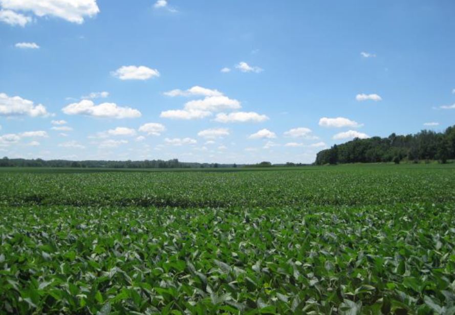
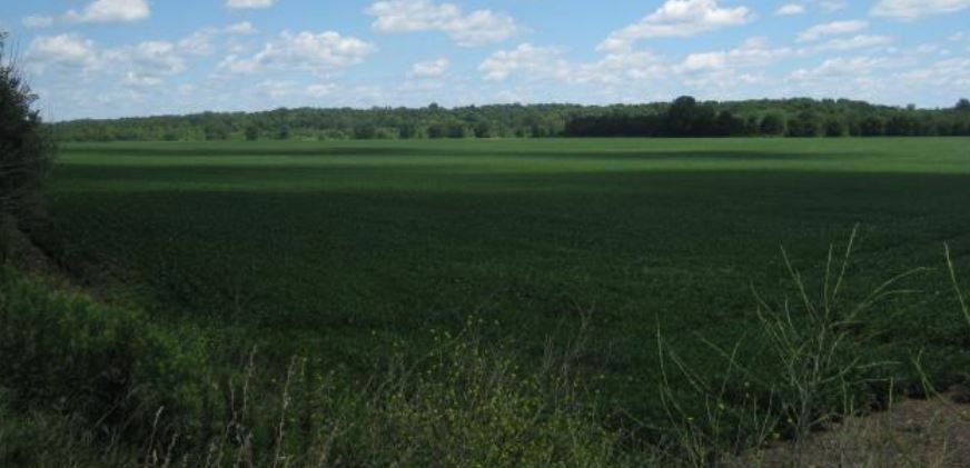
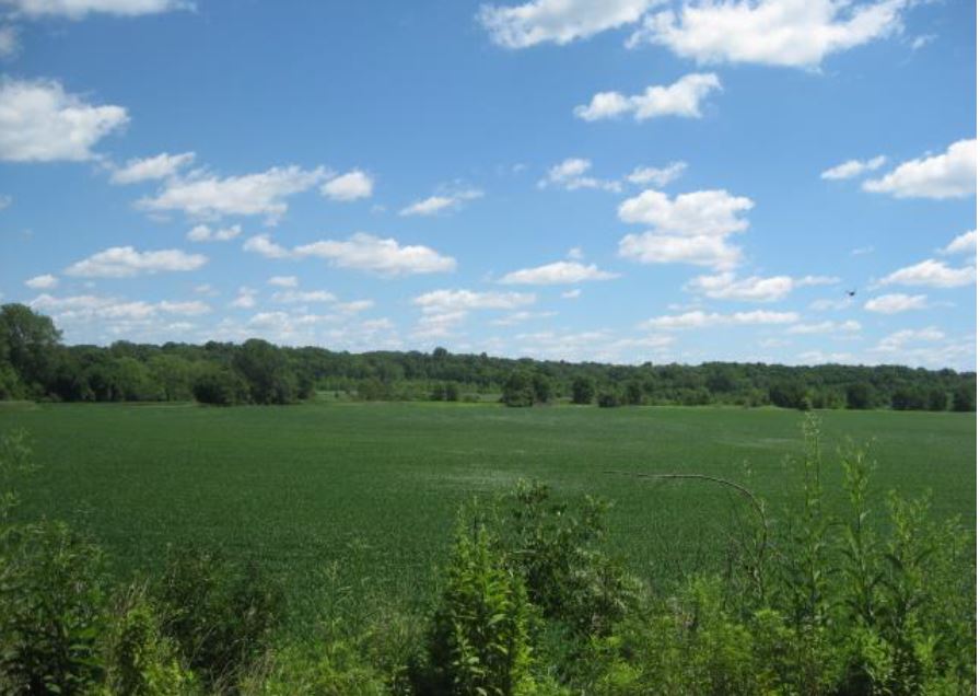
Bull-Buck Mitigation Bank is a 58-acre site located within the topographic floodplain of Clift Ditch, which forms the eastern boundary of the Bank property. Clift Ditch flows north into Buck Creek and eventually into the West Fork White River. Bull-Buck is located in the Upper White Watershed in Henry County, Indiana. Both Clift Ditch and Buck Creek are perennial streams that lie within the Blue Ridge Heritage Corridor, which contains unique soil conditions that is supportive of threatened and endangered wildlife and plants. Bull-Buck Mitigation Bank is pending approval by the U.S. Army Corps of Engineers Louisville District. This Bank will provide 47.60 acres of wetland mitigation credit which will result from 43.1 acres of wetland re-establishment, 3.08 acres of wetland enhancement, and 11.82 acres of wetland buffer establishment. The bank will also provide 1,258 feet of stream credit through stream restoration.
It is anticipated that Bull-Buck Mitigation Bank will be approved to offset forested and emergent wetland and stream impacts within the Upper White River Watershed (HUC 05120201), which includes portions of Delaware, Hamilton, Henry, Johnson, Madison, Marion, Morgan Randolph, and Tipton counties.
Determine if your project is located in the bank's service area. DOWNLOAD MAP PDF