RINGLING RANCH MITIGATION BANK
Ringling Ranch Mitigation Bank

Lower Yellowstone Major Watershed
Lower Yellowstone Major Watershed
Carter County
Wetland and Stream Credits
Wetland and Stream Credits
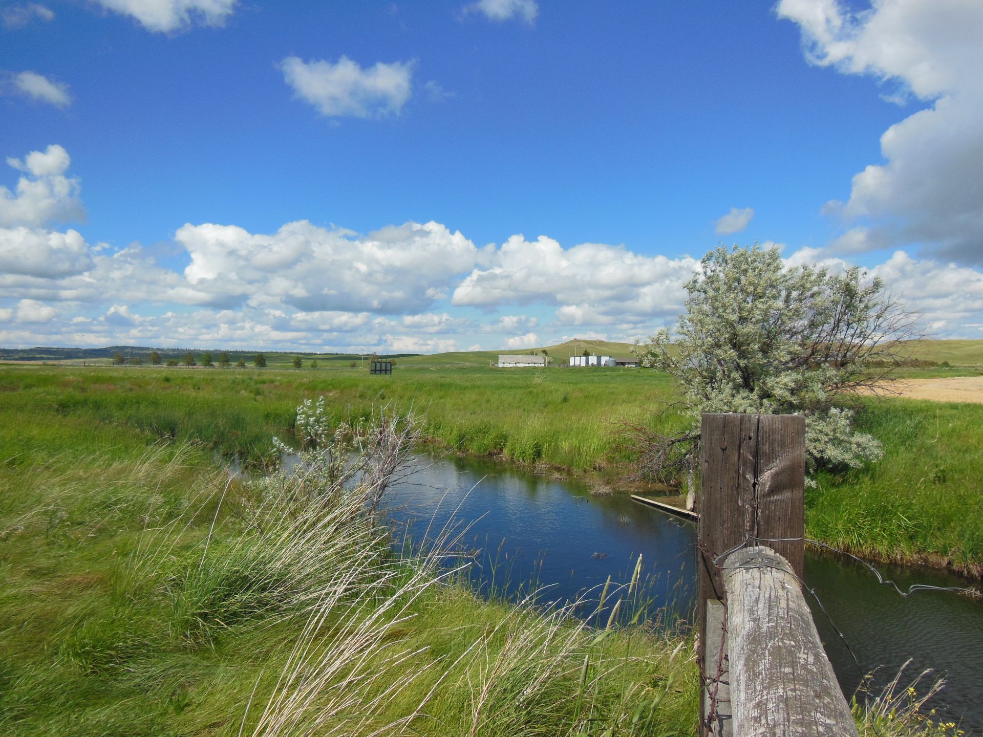
Ringling Ranch Mitigation Bank is a 286-acre site within the upper reaches of O’Fallon Creek, a tributary to the Yellowstone River within the O’Fallon Basin (HUC 10100005) of the Lower Yellowstone Major Watershed in Carter County, Montana. Ringling Ranch Mitigation Bank was approved by the U.S. Army Corps of Engineers Omaha District in 2014 for a potential of 29.01 Palustrine Emergent/Palustrine Scrub/Shrub wetland credits and 220,355.2 MT stream credits (includes riparian credits).
Ringling Ranch MB is approved to offset wetland and stream impacts within the Lower Yellowstone Service Area (15), which includes Middle Powder (HUC 10090207), Little Powder (HUC 10090208), Lower Powder (HUC 10090209), Mizpah (HUC 10090210), Lower Yellowstone (HUC 10100004) watersheds, which includes portions of Carter, Custer, Dawson, Fallon, McCone, Powder River, Prairie, Richland, and Wibaux Counties.
Determine if your project is located in the bank's service area. DOWNLOAD MAP PDF