SANGAMON RIVER MITIGATION BANK
Sangamon River Wetland and Stream Mitigation Bank

Lower Sangamon; Upper Sangamon; South Fork Sangamon; Salt; Mackinaw
Lower Sangamon; Upper Sangamon; South Fork Sangamon; Salt; Mackinaw
Sangamon
Forested: F; Emergent: F; Stream: F
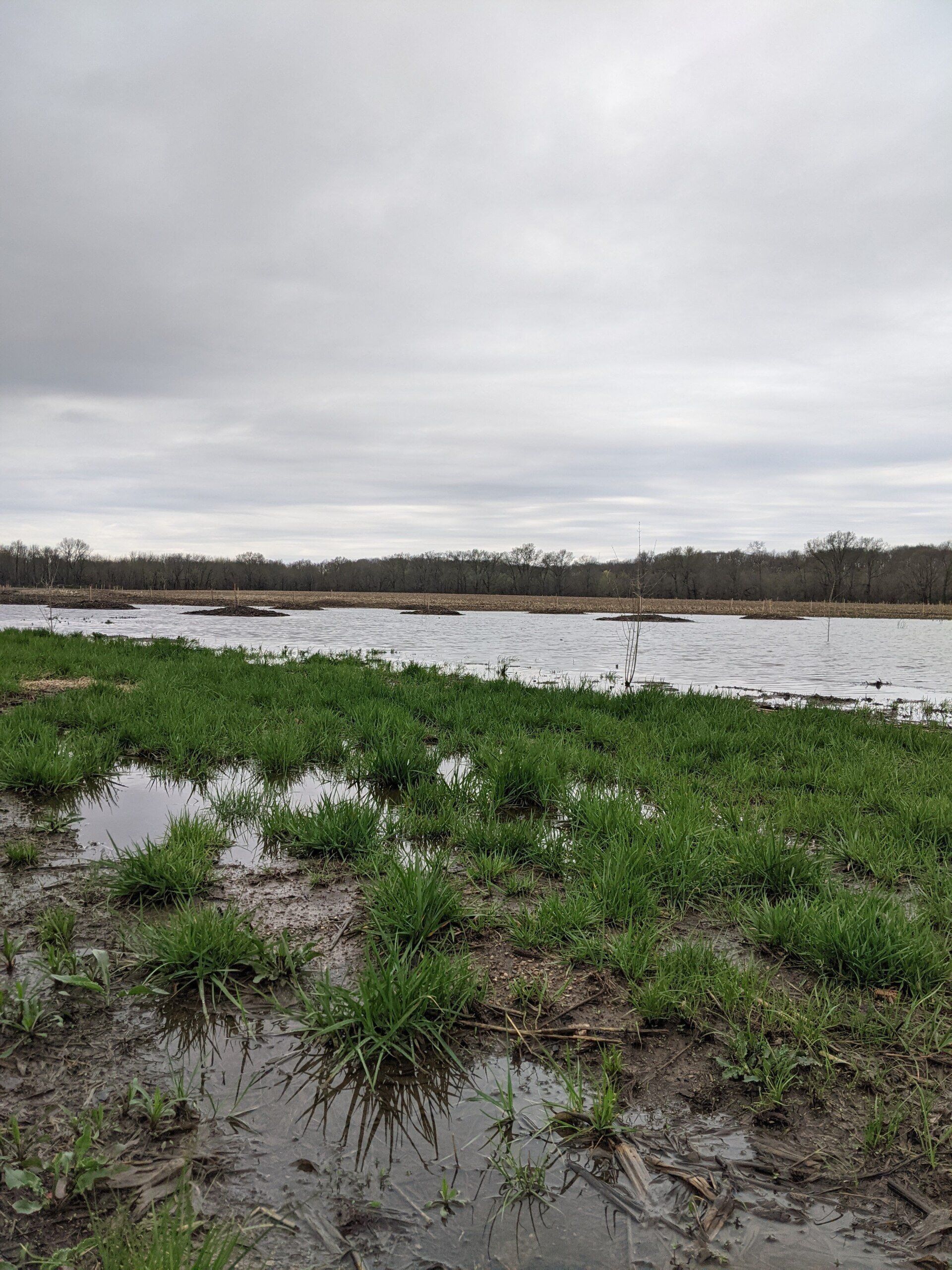
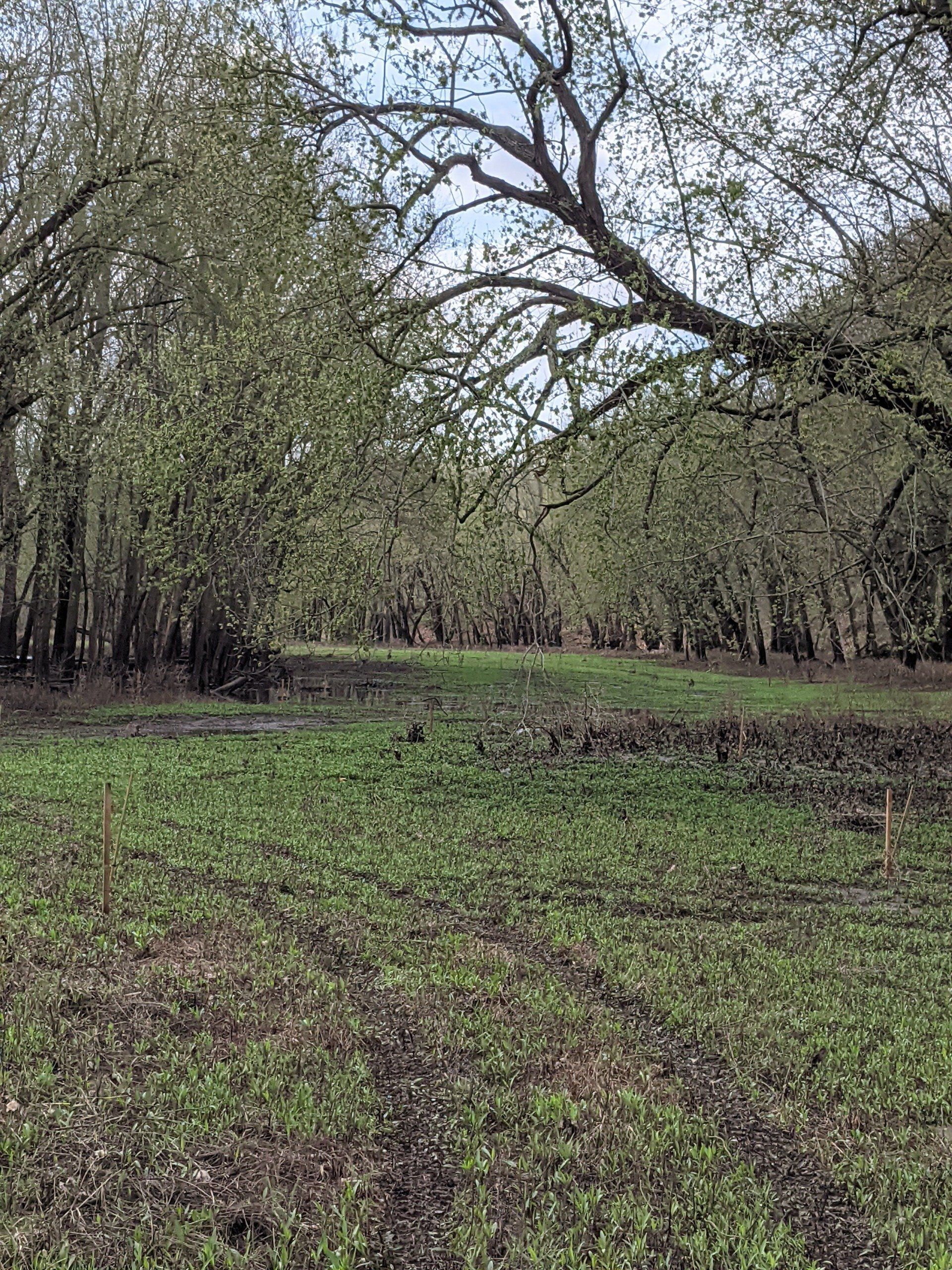
Sangamon River Wetland and Stream Mitigation Bank (SRWSMB) is a 135-acre site located on the South Fork of the Sangamon River within the Sangamon River watershed in Sangamon County, Illinois. Approved by the U.S. Army Corps of Engineers in December 2020, the Sangamon River Wetland and Stream Mitigation Bank features a long perennial stream channel that has a relatively thin riparian buffer, emergent and forested wetlands throughout the site. The mitigation plan includes the restoration and enhancement of wetland habitat quality and quantity for wetland dependent wildlife and hydrophytic native plant species; creation of emergent and forested wetlands; restoration, enhancement, and preservation of wooded riparian corridors on either side of the Sangamon River; and the protection and restoration of streambank riparian corridor habitat.
SRWSMB is approved to offset forested and emergent wetlands as well as stream impacts within all or large portions of the following counties: Sangamon, Christian, Cass, Menard, Logan, Macon, Piatt, DeWitt, Mason, Tazewell and McLean and touching Macoupin, Montgomery, and Shelby counties. The primary service area includes the following HUCs:
• South Fork Sangamon River (HUC 07130007)
• Lower Sangamon River (HUC 07130008)
• Upper Sangamon River (HUC 07130006)
• Salt Creek (HUC 07130009)
• Mackinaw River (HUC 07130004)
Determine if your project is located in the bank's service area. DOWNLOAD MAP PDF