Honey Springs Mitigation Bank

Dirty-Greenleaf (HUC 11110102) and Polecat-Snake (HUC 11110101)
Dirty-Greenleaf (HUC 11110102) and Polecat-Snake (HUC 11110101)
McIntosh County
Perennial Stream Credits Intermittent Stream Credits Ephemeral Stream CreditsForested Wetland CreditsEmergent Wetland Credits
Perennial Stream Credits Intermittent Stream Credits Ephemeral Stream Credits
Forested Wetland Credits
Emergent Wetland Credits
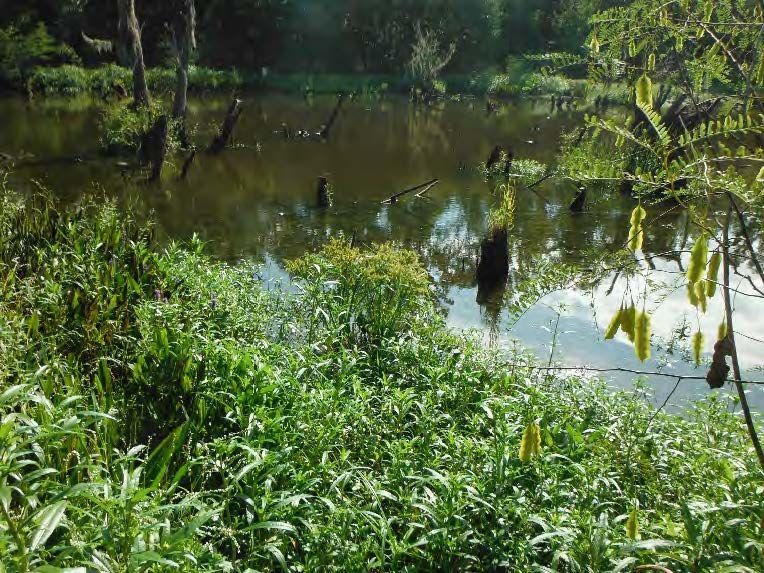
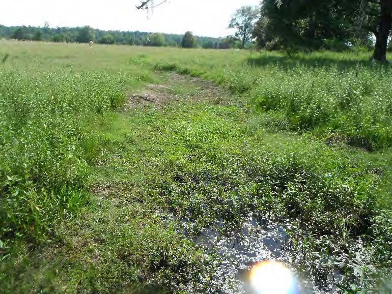
Honey Springs Mitigation Bank (HSMB) is located on two tracts on 162 acres in McIntosh County within the Elk Creek watershed in the Central Irregular Plains Ecoregion. Honey Springs Mitigation Bank was approved by the United States Army Corps of Engineers Tulsa District in September 2020.
Honey Springs Mitigation Bank is approved to provide mitigation credits for impacts to perennial, intermittent, and ephemeral streams as well as forested wetlands. The primary service area is the Dirty-Greenleaf (HUC 11110102) and Polecat-Snake (HUC 11110101) watersheds.
The secondary service area for HSMB is all or part of the Lower Verdigris Watershed (HUC 11070105), Bird Watershed (HUC 11070107), and the portion of the Caney Watershed (HUC 11070106) south of Hwy. 60, specifically including all or portions of the following counties: Mayes, Nowata, Osage, Rogers, Tulsa, Wagoner and Washington. Impacts occurring within the secondary service area must be debited on a 1.5:1 basis.
Determine if your project is located in the bank's service area. DOWNLOAD MAP PDF