Deep Fork Mitigation Bank

Deep Fork (HUC 11100303) and Lower North Canadian (HUC 11100302)
Deep Fork (HUC 11100303) and Lower North Canadian (HUC 11100302)
Lincoln County
Perennial Stream Credits Intermittent Stream Credits Ephemeral Stream CreditsForested Wetland Credits
Perennial Stream Credits Intermittent Stream Credits Ephemeral Stream Credits
Forested Wetland Credits
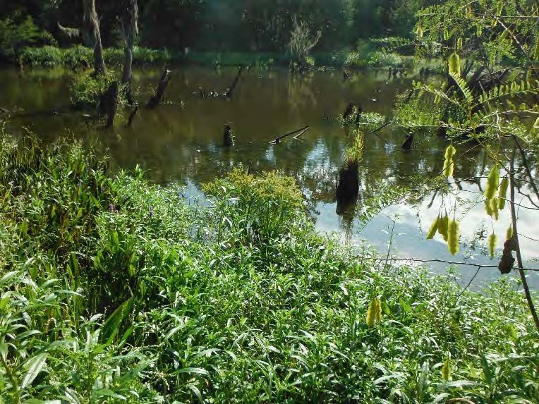
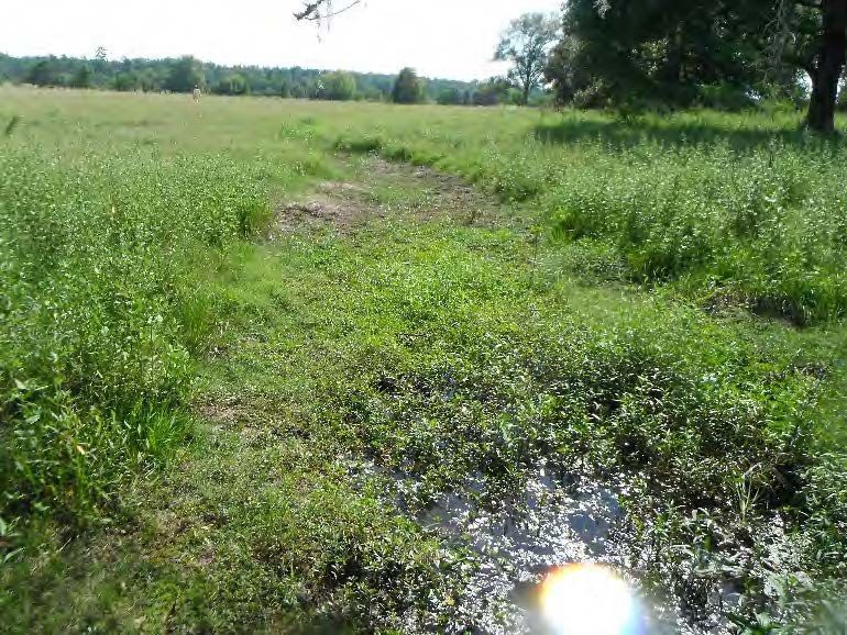
Deep Fork Mitigation Bank (DFMB) is located on 109 acres in Lincoln County along the Deep Fork of the Canadian River in the Northern Cross Timbers Level III Ecoregion. Deep Fork Mitigation Bank was approved by the United States Army Corps of Engineers Tulsa District in February 2017.
Deep Fork Mitigation Bank is approved to provide mitigation credits for impacts to perennial, intermittent, and ephemeral streams as well as forested wetlands. The primary service area is the Deep Fork (HUC 11100303) and Lower North Canadian (HUC 11100302) watersheds.
The secondary service area for DFMB is the Little watershed (HUC 11090203), Polecat-Snake Watershed (HUC 11110101), the portion of the Dirty-Greenleaf Watershed (HUC 11110102) west of the Arkansas River, Middle North Canadian Watershed (HUC 11100301), and a portion of the Lower Cimarron Skeleton Watershed (HUC 11050002). Impacts occurring within the secondary service area must be debited on a 1.5:1 basis.
Determine if your project is located in the bank's service area. DOWNLOAD MAP PDF